Old Tailings Impoundments
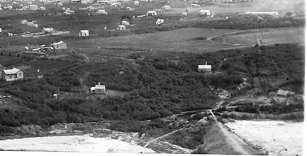
Old maps show three impoundments in the valley below the mill. The Waihi Battery saved much of its tailings, with a view to reprocessing them some time in the future. The embankments are still present. It was from these impoundments that the Cassel plant took their tailings, and also the Waihi Mill as it was closing down. The Martha Gold Mining Company took tailings to treat at Victoria Battery in the late 1940s, and Mineral Resources also reprocessed some of these tailings.
Date of construction: from c1888. They saved their tailings from the outset.
The report of the Waihou and Ohinemuri Rivers Silting Commission of 1910 reports the questioning of EG Banks (metallurgist for the Waihi Gold mining Company):
Have you made any attempt at any time to store any of your residues?—Yes; some years ago, before our treatment was as successful as it is now, we tried to store portions of the tailings and residues. We stored some at the Waihi Mill, amounting roughly to about 20,000 tons. That was put into a gully that existed between the mill and the river. We built an earth breastwork across this gully, and ran the tailings in across a portion of it.
How long ago?—This particular lot was from six to ten years back. We ran about 20,000 tons of our tailings into the gully wet. We aimed at saving the coarser portion of the tailings, which was the only portion worth retreating.
What was the result of that?—We have not started the retreatment of this stuff yet, but approximately I should say certainly a third of that stuff has gone. In that particular stack our chief trouble was owing to flood-waters carrying away the breastwork frequently in heavy rains. That would happen at night, and a large quantity of the tailings would be gone by the morning.
That was the fault of the breastwork?—Yes, there. We made it as strong as we reasonably could, considering the value of the tailings. It did not pay to spend too much on it.
 |
 |
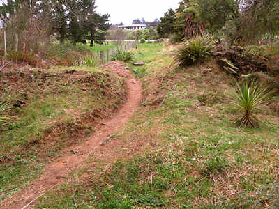
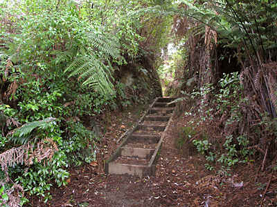
| Looking south, just downstream from the top walkway bridge. The path goes over the lower tailings bund. 2008 | Looking north, the boxed steps of the walkway pass through the middle tailings pond bund. 2008 |

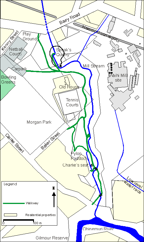
Mill Stream Walkway Heritage Features.
Map showing walkway, present stream alignment, Speak’s Quarry, and the Waihi Battery site. Old tailings ponds are shown on mouse over.

